| I think this is Mt. Shasta. |
 |
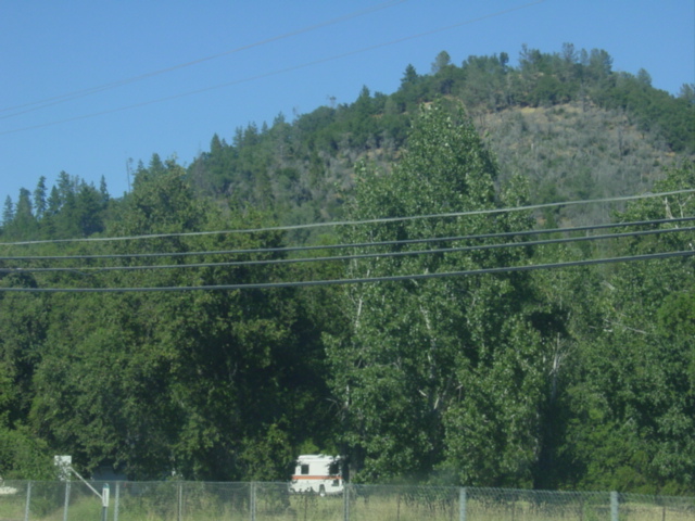
| During long drives, I tend to capture images of whatever is around me, for no reason whatsoever. This is one of those instances. |
 |
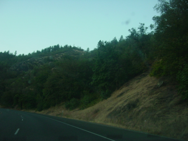
Northern California is filled with lush hillsides, but once you cross into Oregon the hills become more mountainous, and there are more sharp inclines and peaks than wave-like chains.
What? |
 |
| I don't remember what body of water this is. I'm sorry. |
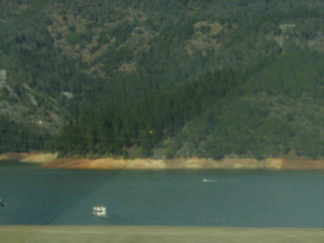 |
It looks pretty big. It's probably visible on a map. Let's see if I can figure it out using Google Maps...
[pause]
According to the map, this might be Shasta Lake. I might be wrong. |
 |
| Considering this is another photograph (much closer) of Mt. Shasta, I'm pretty sure I'm somewhere near Mt. Shasta, and the border of California and Oregon. |
 |
| Closer still. |
 |
| Mt. Shasta |
 |
| Welcome to Weed, California. Their entire economy is based around selling t-shirts, mugs, hats, and shot glasses that say things like, "I got high in Weed." |
 |
| And then, once you pass Mt. Shasta, there is only a long stretch of road with nothing on it keeping you company until you reach your destination. |
 |
| The further north you drive, the more temperate the climate becomes. From barren, dry hills and mountains in southern California to waves of golden hills in northern California, to somewhere in between in Oregon. |
 |
| Long, hard road out of hell. |
 |
| More and more forests begin to appear. This is turning into the pacific northwest. |
 |
| The road curves. Where will it lead? |
 |
| This photograph is taken exactly one hour after the previous one. |
 |
| Watching a sliver of sunset behind the trees. |
 |
| Say goodbye to daylight. |
 |
| I drove through a fireworks display. I never found out what was being celebrated. |
 |
 |
 |